Aktuelt
17.06.26
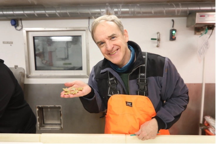
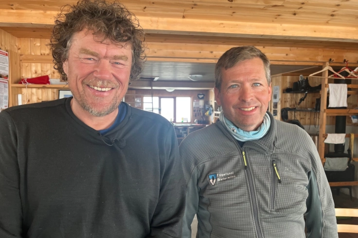
Skal samle forsknings-Norge om fremtidens Polhav
Paul E. Renaud fra Akvaplan-niva blir ny programleder for Polhavet 2050. Han overtar etter Bodil Bluhm, som har vært konstituert i stillingen siden januar 2026.
08.06.26
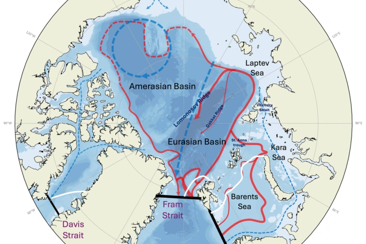
Golfstrømmen påvirkes fra nord
Den varme Golfstrømmen avhenger av kulde. Barentshavet er rene kjøleanlegget.
Tags: Polarklima, AMOC, sjøis, havsirkulasjon, havstrømmer
11.05.26
En brutal felttur - men ny innsikt i arktiske vintre
Selv om feltturen på Svalbard ble den hardeste forskerne noen gang hadde opplevd, var resultatet både overraskende og interessant.
29.04.26
Regnmåleren din kan forbedre værvarsler
Kanskje har du allerede hjulpet Marie Pontoppidan.
Tags: Klimafare, Modellering, Nedbør, Fjell
27.04.26
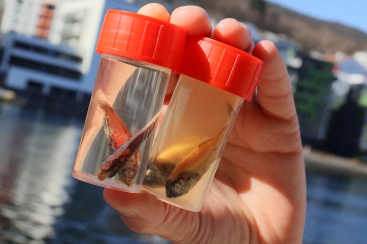
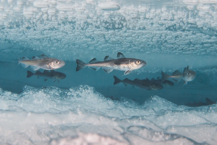
Har du sett disse fiskene?
I det åpne hav og i de dype fjordene her i Norge skjuler det seg en helt spesiell type fisk. En gruppe fisk det finnes ekstremt mange av, men svært få faktisk har sett. Det er fordi de er mestre i å gjemme seg.
20.04.26
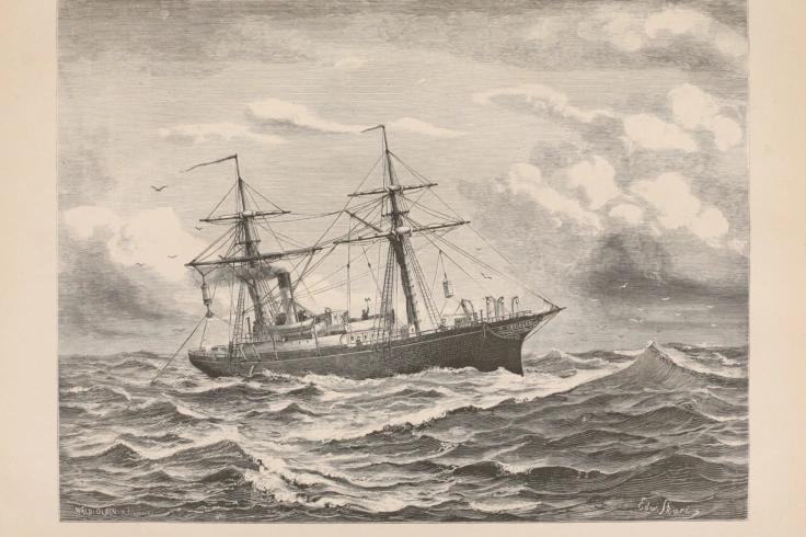
Hundre og femti år siden Norskehavet ble Norskehavet
Utforskningen av havet vest for Norge begynte for fullt for 150 år siden. Slik oppsto Norskehavet.
Tags: Polarklima
15.04.26
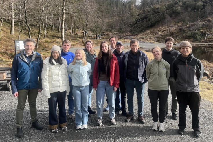
Stipendiatene i gang på Senter for fjellforskning
Det nærmer seg første feltarbeid for stipendiatene. I løpet av april skal de opp på Folgefonna med en ny værstasjon.
08.04.26
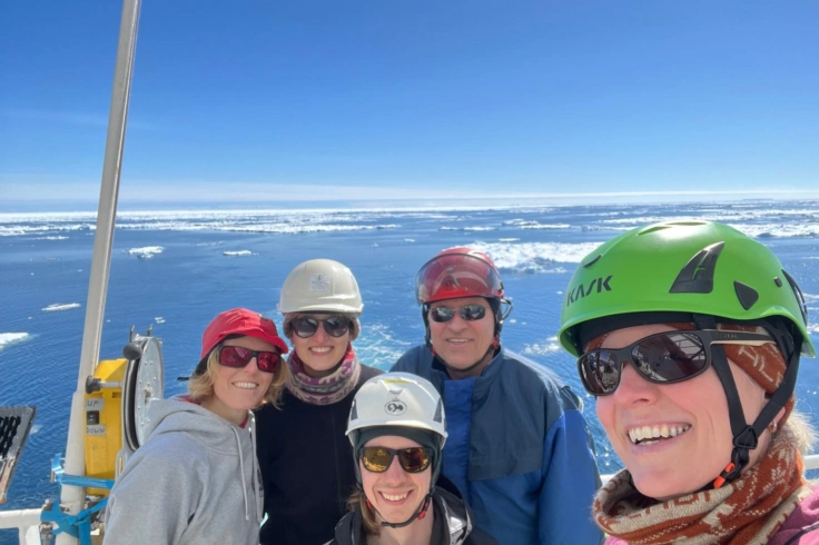
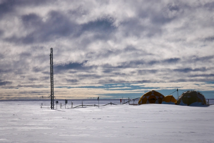
Krevende tokt til Antarktis
Et forskningstokt til Antarktis blir planlagt lenge i forkant, gjerne over flere år. Likevel er det mange ting man ikke har kontroll over. Det fikk Elin Darelius erfare på sin sjuende tur til Sørishavet.
26.03.26
Med Lars Monsen på Folgefonna
På NRK i helga guidar Jostein Bakke Lars Monsen oppe på den kvite snødekte nasjonalparken Folgefonna
24.03.26
Skal kartlegge Bergens klimahistorie
I Bergen blir klimarisiko forma av fjell, fjordar og byens utforming. No ynskjer forskarar å oversette avanserte klimadata til lokale forteljingar om naturfare.
22.03.26
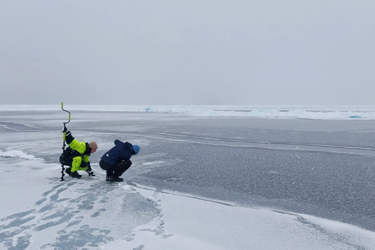
Mindre sjøis i Arktis
Årets sjøismaksimum nærmer seg rekordlave nivåer – en akselererende trend, mener forsker.
19.03.26
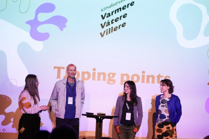
Klimafestivalen Varmere Våtere Villere i bilder
Det var mange Bjerknes-forskere i sving under klimafestivalen. Her er noen høydepunkter fra tre dager i Skostredet i Bergen.

18.03.26
10 000 år med snøskred
På bunnen av en liten innsjø i Hardanger ligger 10 000 år med snøskredhistorie begravd. Johannes Hardeng og forskere ved Bjerknessenteret og Universitetet i Bergen har kartlagt hvor mange snøskred som har gått. Rekonstruksjonen er en av de lengste og mest sammenhengende i verden.
17.03.26
Ny doktorgrad: Hva betyr det å "forstå" naturvitenskap?
Julien-Pooya Weihs disputerer 23. mars 2026 for ph.d.-graden ved Universitetet i Bergen med avhandlingen "Investigating understanding, knowledge, and conceptual difficulties using graph network analysis: A study of learners and epistemologies in cloud physics".
Tags: Ny doktorgrad
16.03.26
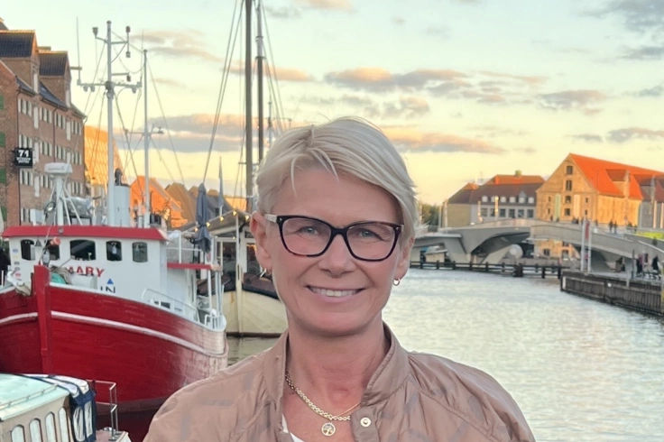
Kari Elisabeth Kaski blir ny styreleiar for Bjerknessenteret for klimaforsking
Faktabasert formidling og tillit til forskninga, er noko Kari Elisabeth Kaski ser fram til å vere med å løfte som ny styreleiar.
03.03.26
En lysere fremtid er ikke like fett for alle
Når nordområdene går fra is til åpent vann, vokser polarfiskens matfat. Likevel kan fisken få magre kår. Serveringstidene kommer i utakt med appetitten.
Tags: Polarklima, fisk, lys, stråling
02.03.26
Klimafestival med program for store og små
På årets Varmere, Våtere, Villere er våre forskere med alle dager - fra onsdag til lørdag. I år flyttes festivalen til Skostredet - og sjekk ut familieprogrammet på lørdagen!
16.02.26
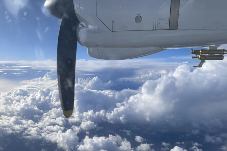
Til værs i uvær
En storstilt flykampanje på begge sider av Atlanterhavet skal gi kunnskap om hva som gjør noen lavtrykk til sterke stormer, mens andre fisler ut.
Tags: Globalt klima, isotoper, Vær
12.02.26
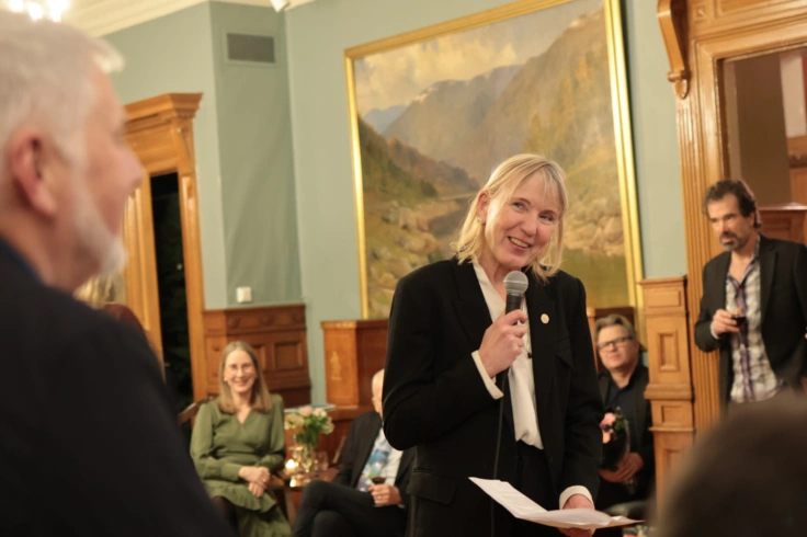
En kveld i Eystein Jansens ære
Det handlet om samarbeid, nysgjerrighet og kunnskapsbygging på tvers av generasjoner og fag. Og ikke minst om hvor mye man kan oppnå når man er vennlig og ambisiøs på samme tid.
10.02.26
Multi-modell isotopsimuleringer avslører et enhetlig bilde av jordens vannsyklus
Et internasjonalt forskerteam har fullført den første fullt standardiserte sammenligningen av isotopaktiverte klimamodeller, og viser at et flermodellensemble gir den mest nøyaktige representasjonen av dagens globale vannsyklus.