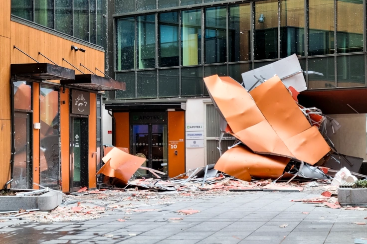
Er Norge godt nok forberedt på fremtidens klima?
Les merFinn en ekspert
Våre forskere er ansatt enten hos NORCE, UiB, Nansensenteret eller Havforskningsinstituttet. Forskerne jobber sammen på tvers av ulike naturvitenskapelige disipliner. Finn forskere med fagbakgrunn blant annet innen meteorologi, oseanografi, geologi, geofysikk, biologi og matematikk.
Publikasjoner
Forskere ved Bjerknessenteret publiserer mer enn 200 vitenskapelige artikler hvert år.
Prosjekter
Forskere ved Bjerknes er involvert i flere prosjekter, både nasjonalt og internasjonalt. Prosjektene eies av partnerinstitusjonene, med unntak av våre strategiske prosjekter.

Våre forskningsgrupper
Andre forskningsområder
Lær om klima
Se alle


Aktuelt
Se alle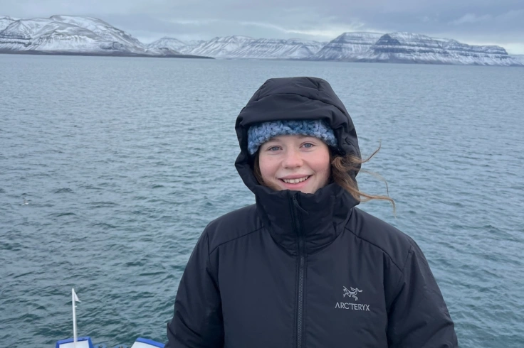
09.07.26
Økning i marine hetebølger rundt Svalbard
Hetebølger i farvannene rundt Svalbard forekommer oftere og varer lenger. Dagens hetebølge er raskt i ferd med å bli morgendagens normalitet.
30.06.26
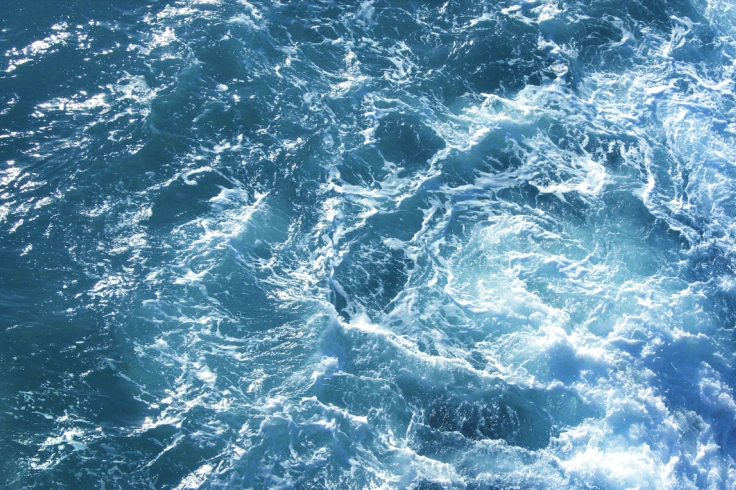
Super El niño i år – vil vi merke det i Norge?
En kraftig versjon av værfenomenet El niño er i emning, ifølge Verdens meteorologi-organisasjon (WMO). I år snakkes det om en «super El niño» - men hva betyr egentlig det?
18.06.26
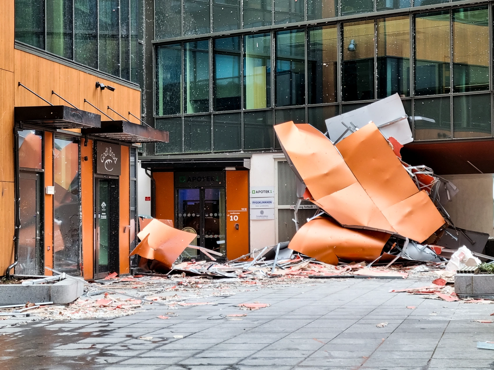
Ny rapport: er Norge forberedt på fremtiden?
En ny rapport setter spørsmålstegn ved om Norge er godt nok forberedt på fremtidens klima – og hva som må til for at vi kan tilpasse oss på best mulig måte.