Written by Erica Madonna from the Bjerknes Centre and the Geophysical Institute at the University of Bergen.
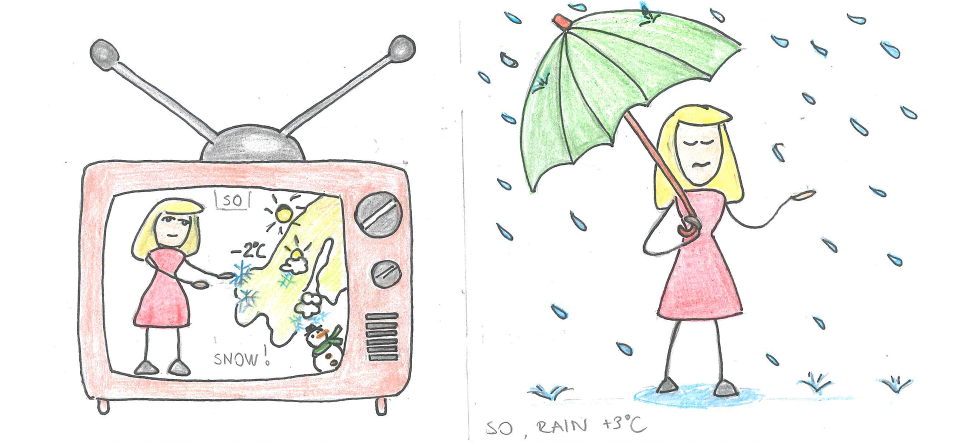
Weather forecasts improved over the last decades, however, it can sometimes happen, that some situations are miss-forecast and for example, the expected snow does not fall. When all the members of an ensemble forecast lie outside the observation, we talk about a systematic forecast error or a forecast bust.
In our new study, recently published in QJRMS, possible origins of a forecast error are examined. During an episode in March 2016, the model forecast too warm temperatures over central Europe (about 5°C warmer than the observed) that were related to a miss-forecast of the large-scale circulation over the North Atlantic.
The study highlights the crucial role of diabatic processes (i.e. condensation within the warm conveyor belt) in extratropical cyclones to amplify small errors, leading to severe forecast bust over the entire Europe.
Reference
Grams CM, Magnusson L, Madonna E.: An atmospheric dynamics perspective on the amplification and propagation of forecast error in numerical weather prediction models: A case study. Q J R Meteorol Soc. 2018;1–15. https://doi.org/10.1002/qj.3353

