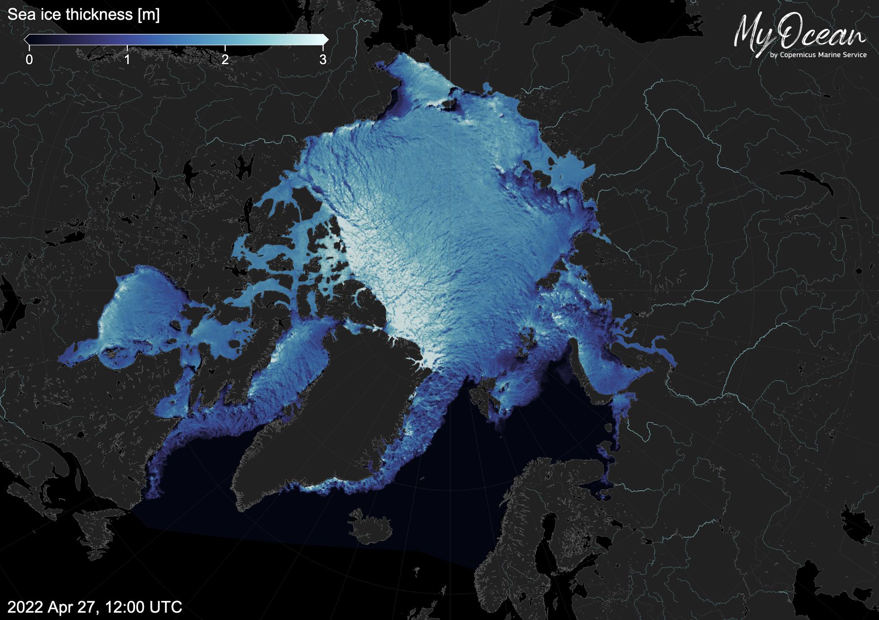
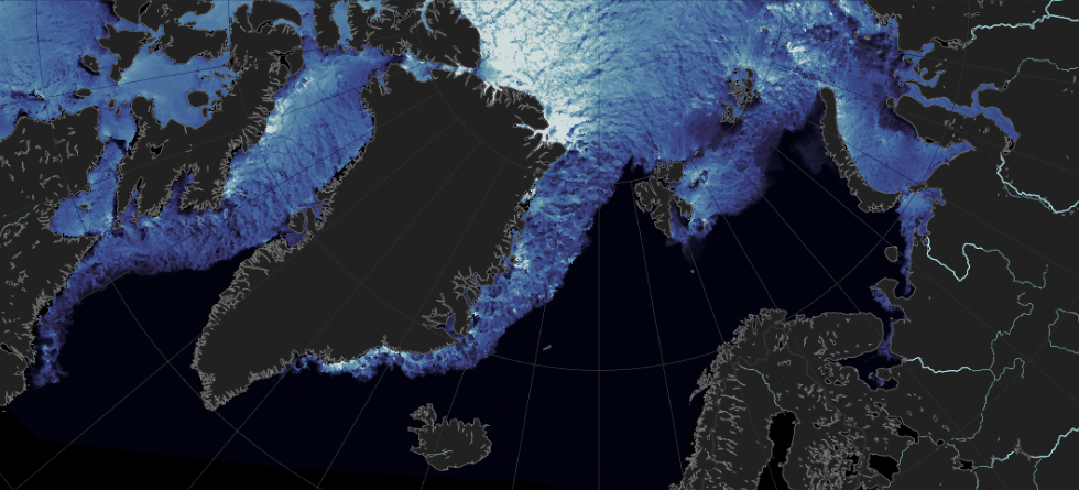
Large ships cross ocean regions that used to be inaccessible due to ice. Not only are there now more fishing vessels, but also tankers and cruise ships. According to a report from the Arctic Council the total distance sailed by ships in the Arctic increased by 75 percent from 2013 to 2019.
Satellite images and ice charts help captains find navigable routes. The charts show which regions are covered with ice and how packed the ice is. However, satellites cannot display tomorrow’s conditions.
Sea ice can grow up to 10 centimeters a day, and huge decks of ice can crack up and drift far in hours. In young ice, layers override each other, while older ice will form ridges when compressed. Satellite images show neither pressure ridges, where they will drift or whether new ice will form in open waters.
Computer models that estimate the ice cover in the coming days, do exist. The principles are the same as those used to forecast tomorrow’s weather. But the movement of solid ice is complex and can change direction over a hundred meters. At the moment, predictions of future ice have limited accuracy.

“Models do have some skill seven days ahead, but can still not be relied on for navigational purposes,” says Tarkan Bilge.
Bilge is a Head Engineer at the Bjerknes Centre and the University of Bergen and has led a study of sea ice prediction models. In a newly published article, he and colleagues from Bergen, the UK Met Office and the European Centre for Medium-Range Weather Forecasts, compared predictions from four such models with observations of sea ice in the Barents Sea.
While Tarkan Bilge would not recommend relying on present ice prediction models for practical routing, this does not mean that the models generally fail. On average, they predict the overall tendency of ice thickness quite well a week ahead. But occasionally, on a day-to-day basis, they perform very badly.
In ice-covered regions, routing is a question of life and death. Knowing that crossing the sea will on average go well, is not sufficient.

Improved predictions may be ready in a few years
“With the latest developments, I guess we will be there in three or four years,” says Laurent Bertino. “That is not much compared to the twenty years we have worked on this.”
Bertino is a senior researcher at the Bjerknes Centre and the Nansen Environmental and Remote Sensing Center. His group has run an ice prediction model since 2003, from 2008 in cooperation with the Norwegian Meteorological Institute.
The last seven years, the Norwegian scientists have been responsible for delivering official ice predictions for the Arctic, as part of the European Union’s Earth observation program, Copernicus.

The recently published study was the first to compare such predictions with ice thickness measured close to the ice edge in the Barents Sea. The data were provided by buoys deployed in the exploration of regions made available for the oil and gas industry.
Such observations directly from the ocean are indispensable if ice predictions are to be improved. Satellite images can show where there is ice. A few satellites also measure the thickness of the ice, though with considerable uncertainty.
Model simulations must start from the most accurate data, securing the most complete overview of present conditions. All available observations, both from satellites and from the ground, must be gathered and included from the beginning. Methods for combining the required data, called data assimilation, is an important research field for both ice models and other weather and climate models.
In this podcast, senior researcher and remote sensing expert Anton Korosov from the Bjerknes Centre and the Nansen Centre talks about ice forecasts and new techniques for analyzing satellite data.
Predictions used to avoid the ice
“Those who use ice predictions today, use them to avoid the ice,” says Laurent Bertino.
Captains operating in regions with sea ice, also need predictions of drifting icebergs and ice that suddenly breaks up and move towards other regions. In the present predictions, the location of the ice edge has an uncertainty of about 50 kilometers.
With a conjunction of new satellites, a new sea ice model and new data assimilation methods, Laurent Bertino expects the wait for more precise forecasts will not be too long.
“I am an optimist,” he says.
Reference
Bilge, Tarkan A., Nicolas Fournier, Davi Mignac, Laura Hume-Wright, Laurent Bertino, Timothy Williams, and Steffen Tietsche. 2022. An Evaluation of the Performance of Sea Ice Thickness Forecasts to Support Arctic Marine Transport Journal of Marine Science and Engineering 10, no. 2: 265. https://doi.org/10.3390/jmse10020265

