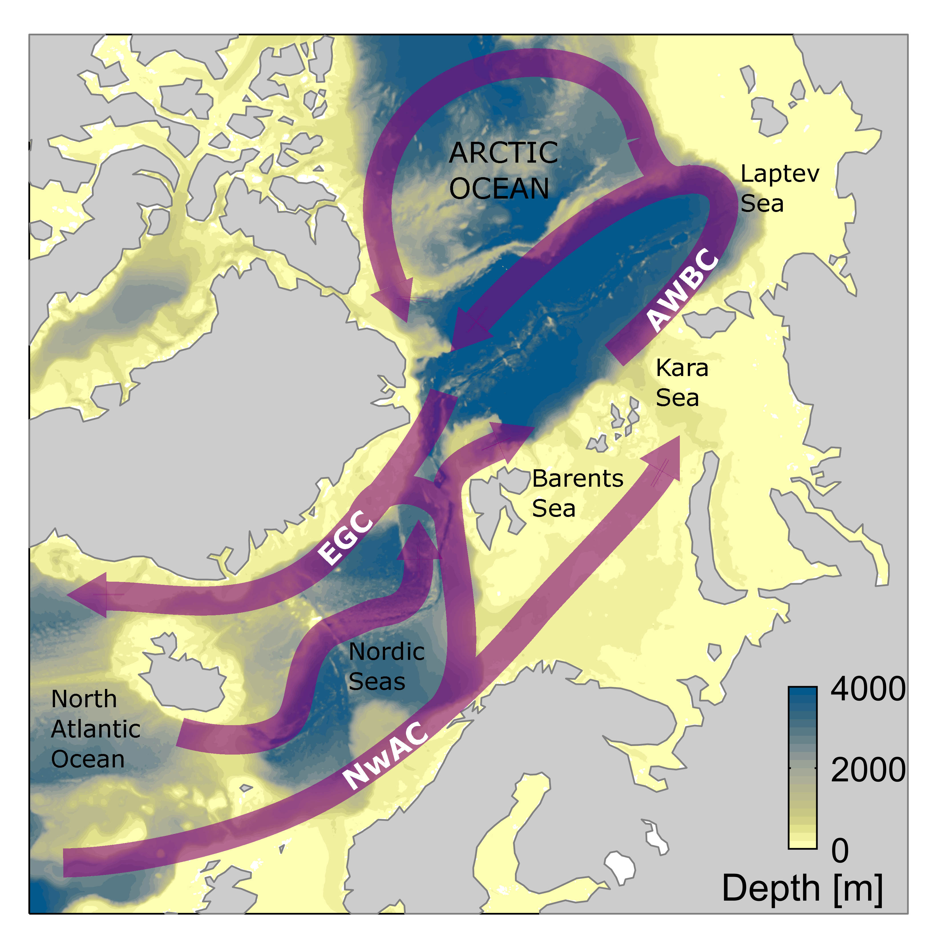
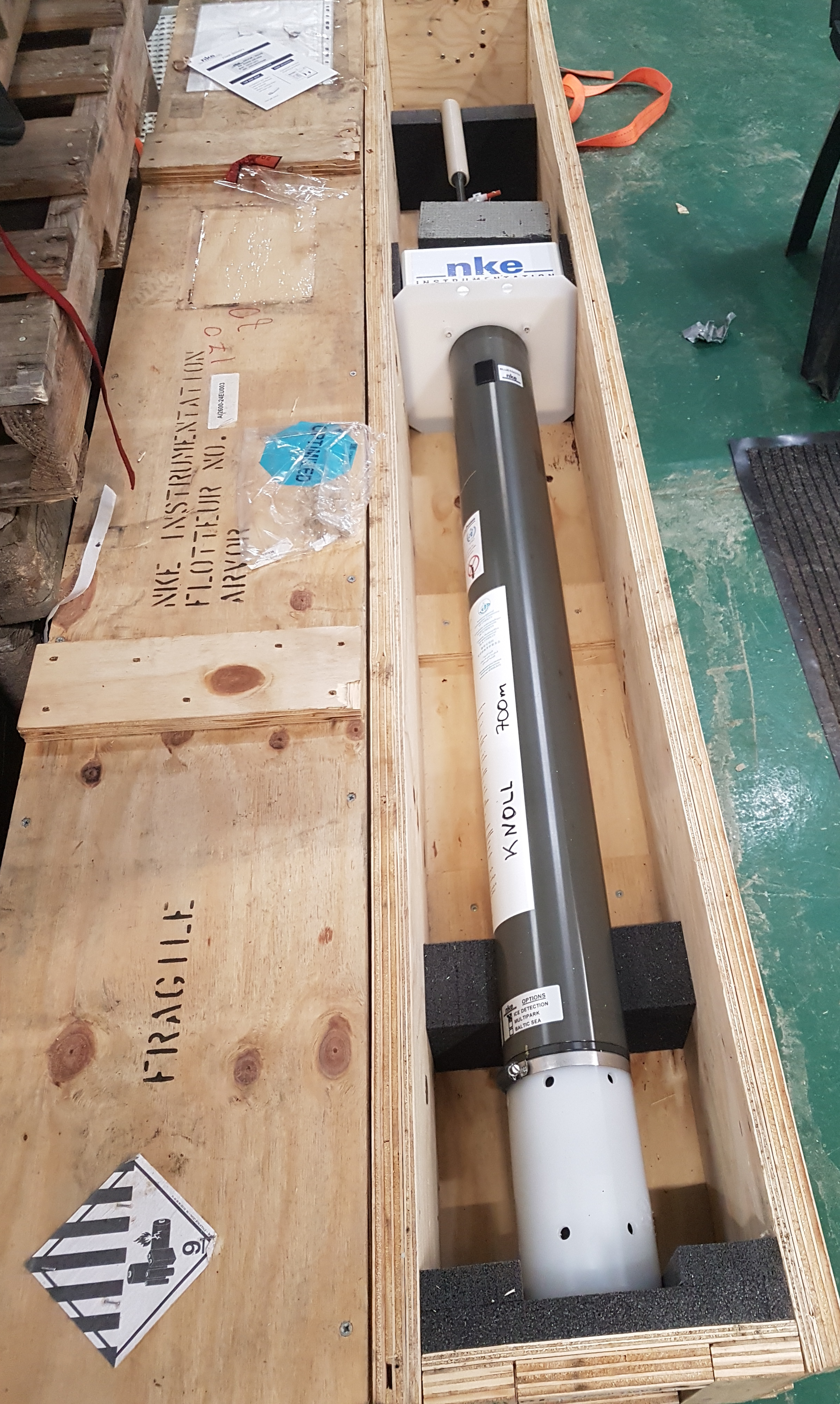
While their battery life is only 3-4 years, they may end up on a current that takes 50 years to circle the Arctic, depending on the route they take. They might even get caught in an eddy - anything could happen.
Will both "Knoll" and "Tott" survive the entire journey around the Arctic Ocean and reappear in the Fram Strait, east of Greenland? Will they endure under the ice and contact us when the Arctic becomes ice-free in the summer?

Warm to Cold
The ocean currents in the Atlantic are crucial for northern Europe's relatively mild climate. Warm water flows northward at the surface through the Gulf Stream and into the Norwegian Sea and Arctic Ocean. As it encounters cold air, the water cools and sinks, becoming denser. This cold water then flows southward towards the Atlantic Ocean's depths.
This circulation, known as the Atlantic Meridional Overturning Circulation (AMOC), is a vital component of global ocean circulation. The formation of cold, heavy water at high latitudes is essential for maintaining this overturning process.
Changes in the Arctic
Traditionally, the cooling of warm water occurred in the northern Atlantic, where winter air temperatures are significantly lower than sea temperatures. However, this dynamic has shifted due to global warming.
Rising air temperatures have reduced surface water cooling, weakening the overturning. Paradoxically, while Arctic air temperatures are increasing, the retreat of sea ice exposes warm Atlantic water to cooler winter air. This could potentially increase heavy water production and strengthen the Arctic component of the overturning circulation.
To understand these Arctic Ocean changes, researchers employ models and observations, a challenging task in the harsh Arctic environment. Models use observations as a starting point for simulations, but available data is limited. Navigating ice-filled waters for measurements is both costly and difficult, making autonomous measuring instruments like "Knoll" and "Tott" invaluable.

Knoll and Tott on a Mission
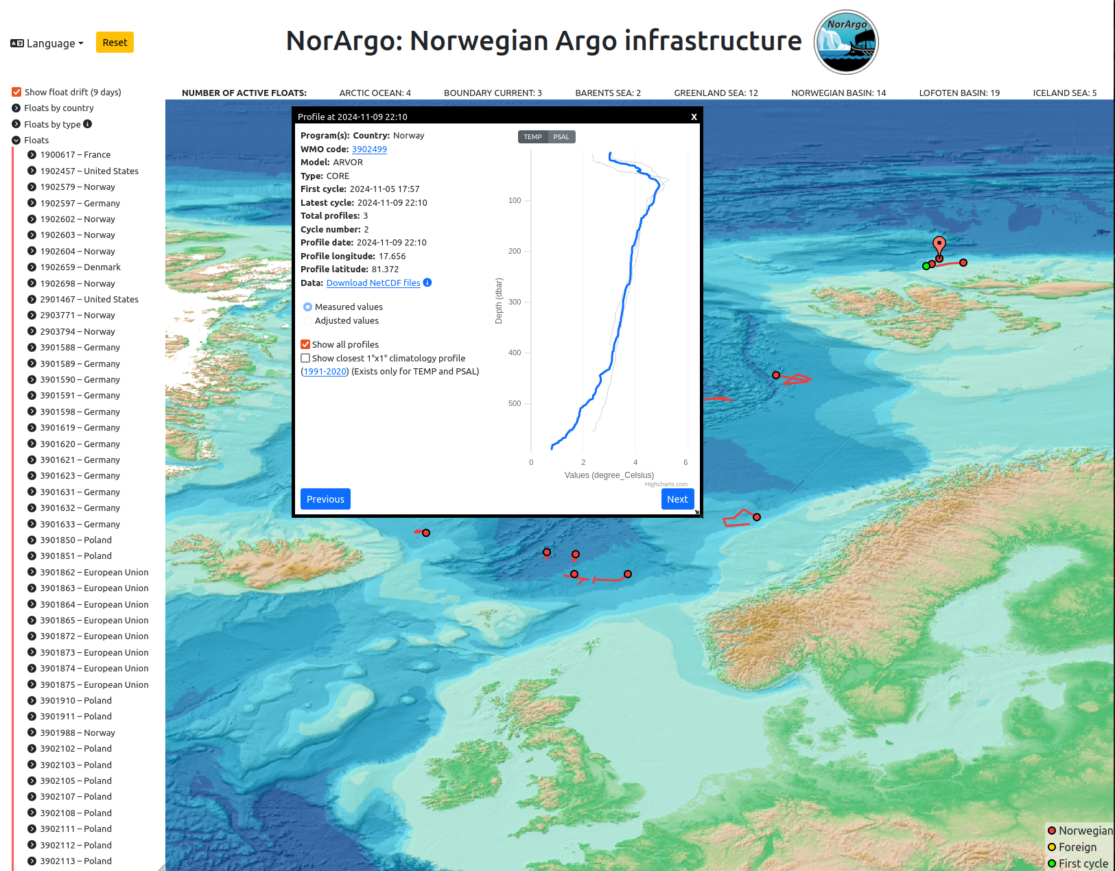
As they drift with the Atlantic Current around the Arctic Ocean, the buoys will measure temperature, salinity, and pressure. When surfacing, they transmit data to researchers via satellite. After quality assurance, the measurements are stored in an openly accessible database, contributing to the collection of over 100,000 temperature and salinity profiles annually. These instruments are part of the global Argo program, which maintains a fleet of about 3800 buoys worldwide.

The Significance of the Science
This mission is especially important because there have been few such buoys in the Arctic Ocean before. The measurements from the autumn and winter seasons will provide more knowledge about the cooling process in the Atlantic water. But it’s uncertain where the buoys will move and what they will find.
Maybe Knoll and Tott will get stuck in the rough Arctic Ocean, maybe they will come home unscathed - and maybe they will show us something we have never seen before! We look forward to seeing what they discover on their journey and how this can help us understand ocean circulation in a changing climate.
Authors:
Stefanie Semper, Marius Årthun, Birgit Rinde and Jakob Dörr at the University of Bergen and the Bjerknes Centre for Climate Research

